Our Services
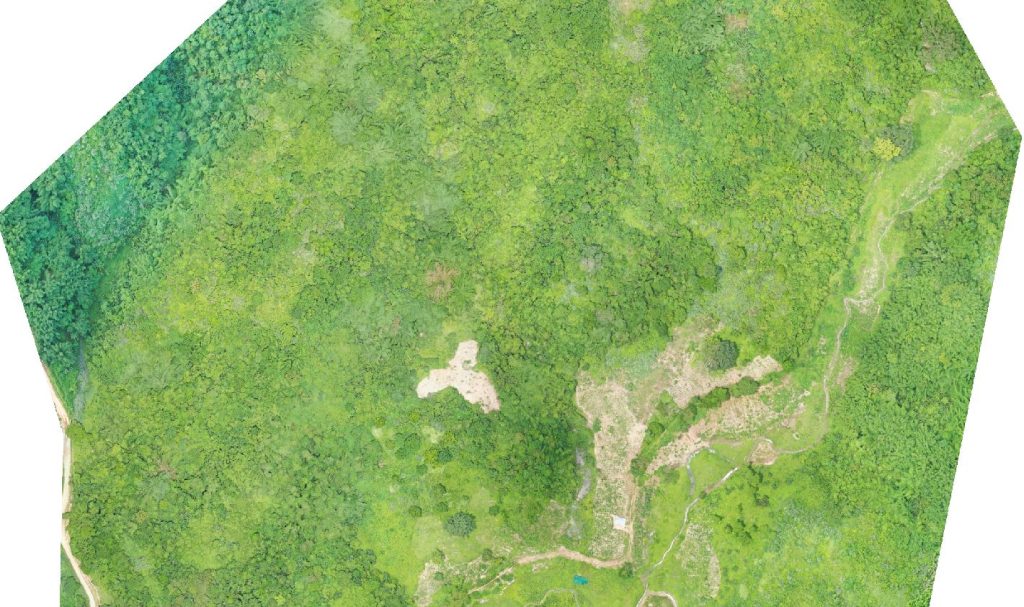
Aerial Survey
Accurate Surveys give you crystal-clear Aerial Inspection Services in India. We aim to deliver accurate and reliable mapping data to our clients using cutting-edge technologies
- Orthophoto Mapping: Orthophoto mapping creates a geo-referenced, accurate, and uniform representation of the earth’s surface from aerial images. Bing Maps Aerial View makes a precisely located and consistent representation of the earth’s surface from aerial photos. You can utilize our high-resolution aerial photographs for various purposes, including land use planning, urban growth, and asset management.
- Terrain and Elevation Mapping: Aerial Mapping Drones create 3D models of the earth’s surface using aerial illustrations and elevation data. Our landscape maps offer detailed topography, slope, and elevation information, making them ideal for your maximum use for construction, mining, and environmental management.
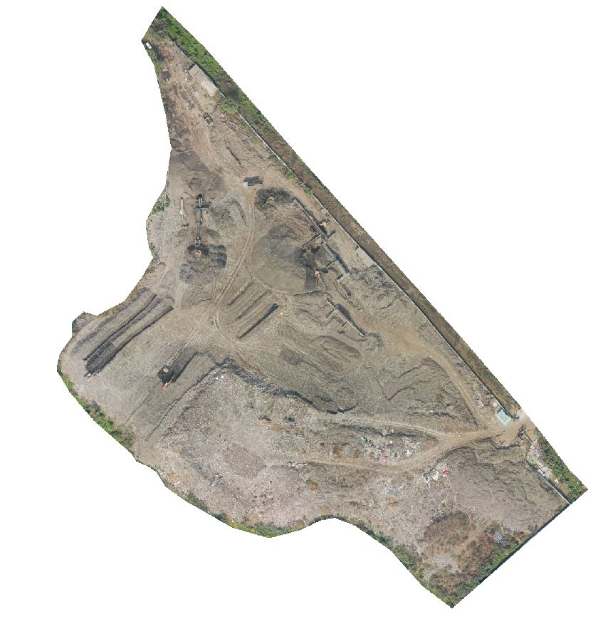
Dump Site/Waste Management
Accurate Surveys is proud to offer drone services for dump yard waste management, revolutionising how waste is managed and monitored. Our drone technology provides efficient, cost-effective, and safe solutions for waste management, allowing for real-time monitoring and analysis of dump yard sites.
Accurate Surveys understands the importance of proper waste management and is committed to providing the best drone services for dump yard waste management. Our team of experts has the knowledge and experience to deliver customised solutions tailored to meet the specific needs of our clients.
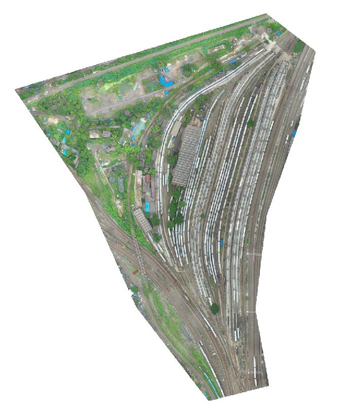
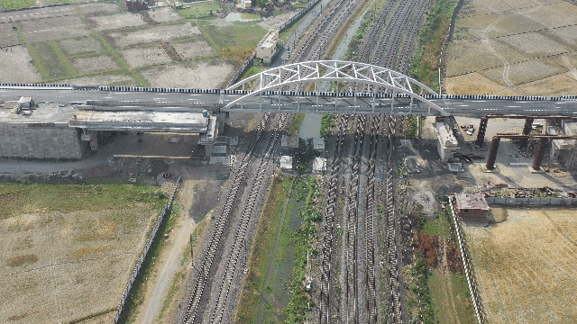
Railway Services
Drones have become a vital tool in various industries, including the railway industry. Their ability to capture high-resolution aerial footage and inspect hard-to-reach areas makes them essential to railway maintenance and operations and metro rail survey.
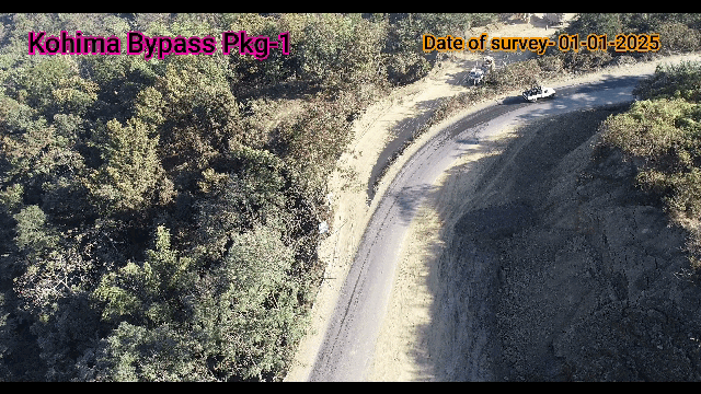
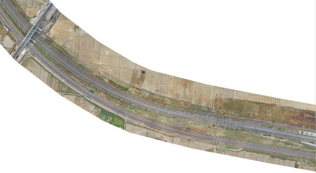
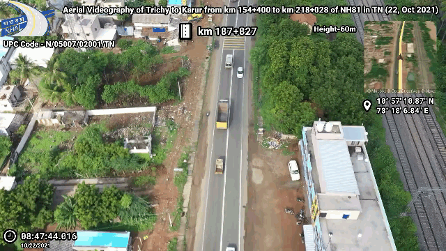
Road Inspection
We bring you drone services with the latest technology that aids the monitoring, construction, and inspection process, which helps complete the task faster. It was the idea of our Prime Minister who advised using drones in the process to speed up as well as ensure quality. Drone services are ideal for monitoring and inspecting the construction process and determining the level of work accomplished.
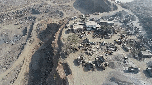
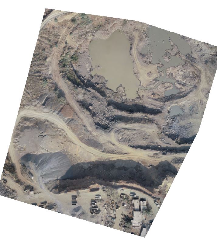
Mine Survey
Drones are beneficial in volumetric calculations. This is especially useful for open-pit mining operations. Drones equipped with cameras and laser scanners can capture high-resolution 3D models of the mine site, allowing engineers to calculate the volume of ore and waste material. This information is crucial for mine planning and design and monitoring and reporting on mining activities.
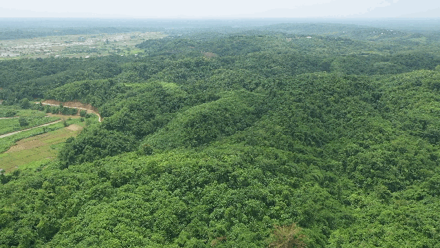
Forest Survey
Our drone services allow us to safely and efficiently survey forested areas and wildlife habitats, providing valuable data and insights to organizations and agencies involved in conservation, research, and management.
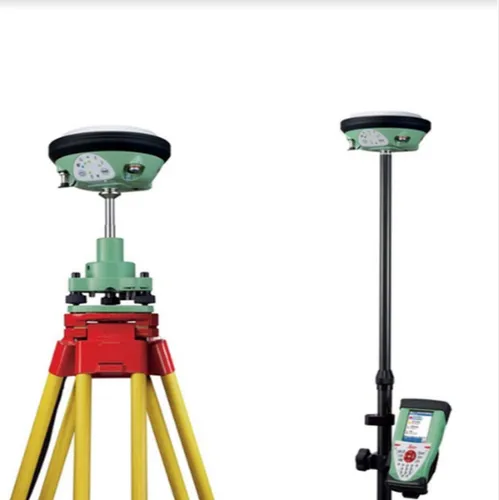
DGPS and GPS Survey
DGPS (Differential Global Positioning System) surveying is a technique that enhances the accuracy of GPS positioning by using a network of fixed, ground-based reference stations. These stations, with precisely known locations, monitor GPS signals and broadcast correction data to nearby mobile receivers, significantly reducing errors caused by atmospheric conditions, satellite orbits, and other factors. This results in improved accuracy, often down to the centimeter level, making it suitable for high-precision surveying, construction, and other applications requiring accurate location data.
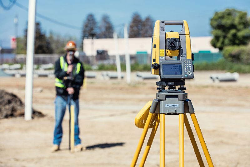
Total Station Survey
A total station is a surveying instrument that combines an electronic theodolite and an electronic distance meter (EDM) to measure horizontal and vertical angles, as well as slope distances. It integrates a microprocessor and data storage for efficient data collection and calculations. Total stations are widely used in construction, surveying, and other fields for accurate measurements and layout tasks